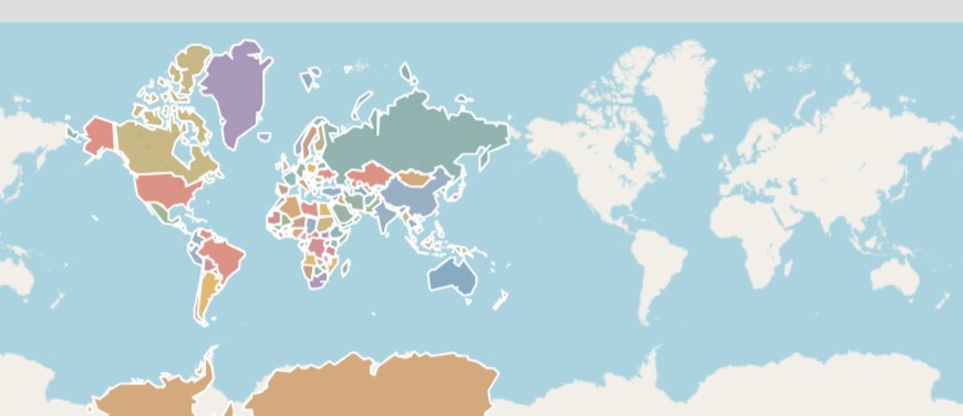
The World, One Framework
Start at country level, drill into provinces, select a location and create a Geotag. Digital Title then defines the physical land. The same geographic framework powers the homepage, customer area and asset workflows.
Select a country to begin.
Select a country, then a province, then its capital/principal city before choosing the exact point for a Geotag.
Explore the mapHover over a country to see its name. Click a country to drill down. In Thailand, hover over a province to see its name, then click to continue.
Location selectedSelect a point on the map.
Geotag = persistent location/coordinates only. It does not display parcel boundaries, area or dimensions. Digital Title is where the physical land is defined.
Start with a Geotag
Create a persistent digital geographic reference for a specific location.
Register Free for a Geotag